GIS Specialists
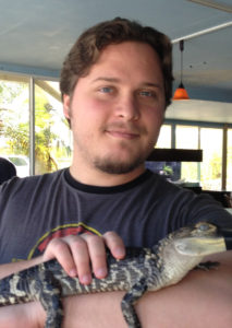
Adrian S. Z. Chase (2016)

Adrian is a graduate student studying archaeology at the School of Human Evolution and Social Change at Arizona State University (ASU). His research interests include urbanism, water management, landscape archaeology, geographic information systems, and agent-based modeling. He has participated in field projects at Chichen Itza in Mexico, Caracol in Belize, Hibermerdon Tepe in Turkey, and Teotihuacan in Mexico. He has also undertaken three internships at Oak Ridge National Laboratory, Tennessee. He obtained his master’s degree in Anthropology at ASU in 2014 with a focus in Arch
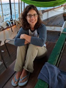
Tanya Catignani (2017-2019)

Tanya has worked in the field of Geographic Information System (GIS) for nearly two decades and has earned a Ph.D. in Geoinformation Science from George Mason University in 2017. For her dissertation, she developed a predictive model of Mayan wetland agricultural fields in northern Belize to estimate their extent at the height of their use. She earned her B.S. in Archaeology from Mercyhurst University in 2002. In January 2017 Tanya joined the PPCC team and has worked with them to identify archaeological features using LiDAR data and elevation models. In addition, she manages a web-based map of the identified features and continues to find ways to incorporate historic datasets into the project’s current data holdings.