Teotihuacan in Numbers
by Yolanda Peláez Castellanos
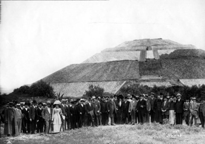
Teotihuacan was one of the most influential cities in Mesoamerica, and descriptions of its grandeur during its occupation from around 100 BCE to 550 CE have been frequently mentioned in literature. At its height, the metropolis had between 75,000 to 125,000 inhabitants and extended over an area of some 20 km2 (7.72 mi2). The biggest building in the city, the Sun Pyramid, stands at 63 m (206.69 ft) tall with each of the four sides of its base measuring 222 m (730.64 ft).
So, why all these numbers and figures? Well, get ready because the point to this blog entry is to break down these numbers and compare them with other cities, monuments, and areas around the world so you can have a better understanding of (and appreciation for) the impressive dimensions of the Teotihuacan metropolis.
Years of occupation: 100 BCE-550 CE
Fact: Learning about history is much more interesting than memorizing dates. However, dates are useful for understanding the relative timeframe between which certain events occurred. Teotihuacan was occupied thousands of years ago for centuries. How long ago was that? What was happening in other parts of the world at that time?
The city of Teotihuacan lasted a duration for about 650 years. If we are living in 2021 (21st century), the year 1371 (14th century) was 650 years ago. The Black Death hit Europe, and Dante Alighieri wrote the Divine Comedy during that century. If you think about how much time has passed and how the world has been transformed since then, you will understand that 650 years was a long time, indeed.
According to the chart below, which summarizes the estimated dates for the ceramic phases of Teotihuacan (Cowgill 2015), the city was seemingly occupied from the Patlachique to the Late Xolalpan phases with its collapse beginning around 550 CE (Manzanilla 2018:213-215). If you want to learn more about ceramics and chronology, visit the Relative Chronology section.
| Phase | Time period |
| Patlachique | 100-1 BCE |
| Tzacualli | 1-100 CE |
| Miccaotli | 100-170 CE |
| Early Tlamimilolpa | 170-250 CE |
| Late Tlamimilolpa | 250-350 CE |
| Early Xolalpan | 350-450 CE |
| Late Xolalpan | 450-550 CE |
| Metepec | 550-650 CE |
What about Europe? What was going on during that period? The rise of Teotihuacan (Patlachique phase) roughly corresponds with the beginning of the Roman Empire, spanning between 27 BC and 476 CE (Britannica 2021). By the time we reached the 6th century when Teotihuacan was abandoned, the Early Middle Ages were beginning.
Estimated population: ca. 75,000-125,000 inhabitants
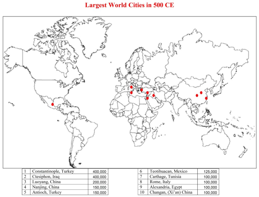
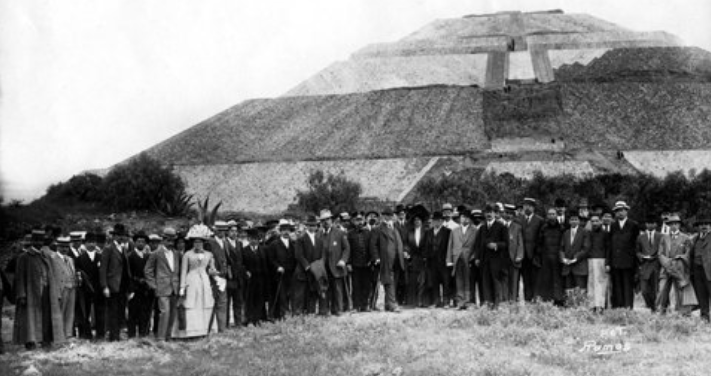
If there were any population records taken back in the day, they were not preserved in Teotihuacan. Therefore, we do not know the exact number of people that lived in the city. Archaeologists have, however, calculated an estimated figure. René Millon (1973:44-45)[1] estimated that there were between 75,000 and 125,000 people in Teotihuacan at its height. Comparatively, in 2017 the city of Bruges in Belgium had 118,284 inhabitants (UrbiStat s.f.). This might seem like a small number compared to the biggest cities at present, but think of it like this: Teotihuacan was the biggest city in the Western Hemisphere (Cowgill 2015:1) and the sixth largest city in the world (Millon 1994:17) (Figure 1).
[1] There are other more recent and less generous calculations (e.g., Cowgill 2015), but Millon’s estimate is used here to be consistent with the map in Figure 1.
Area: ca. 20 km2 (7.72 mi2)
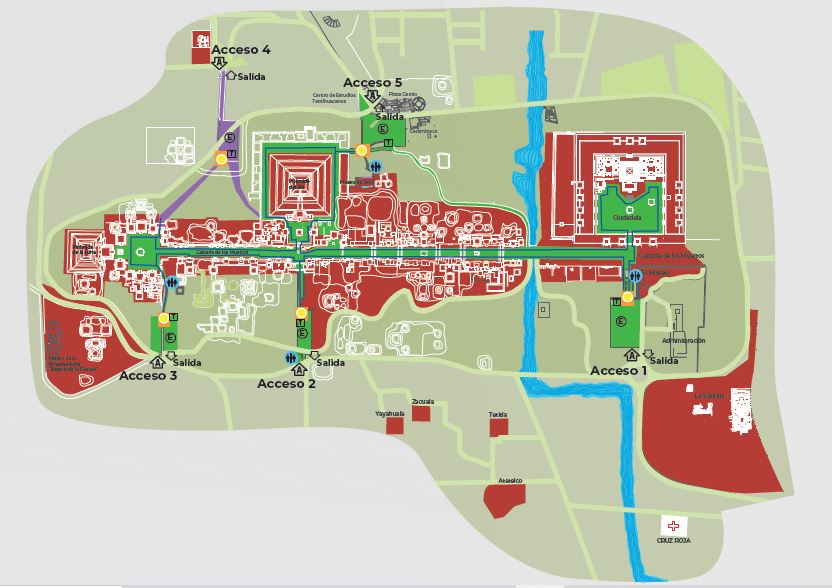
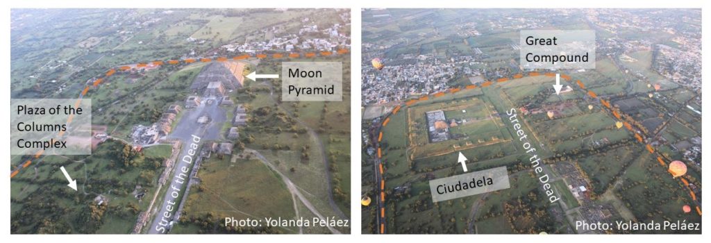
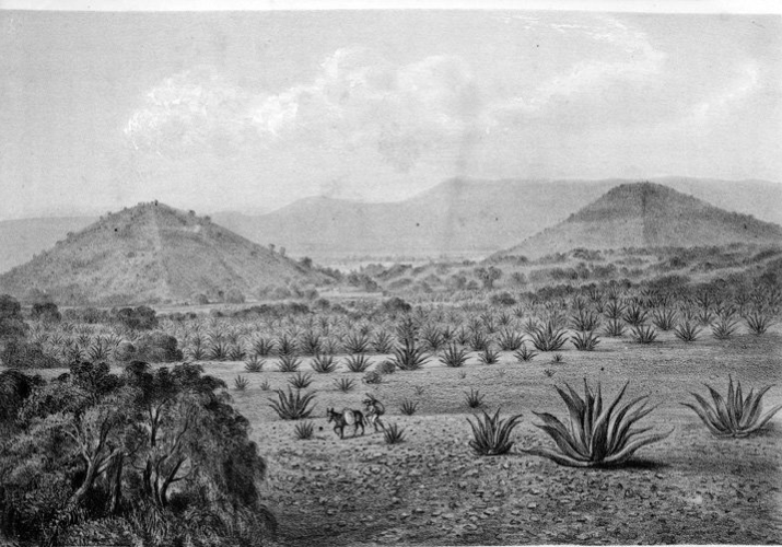
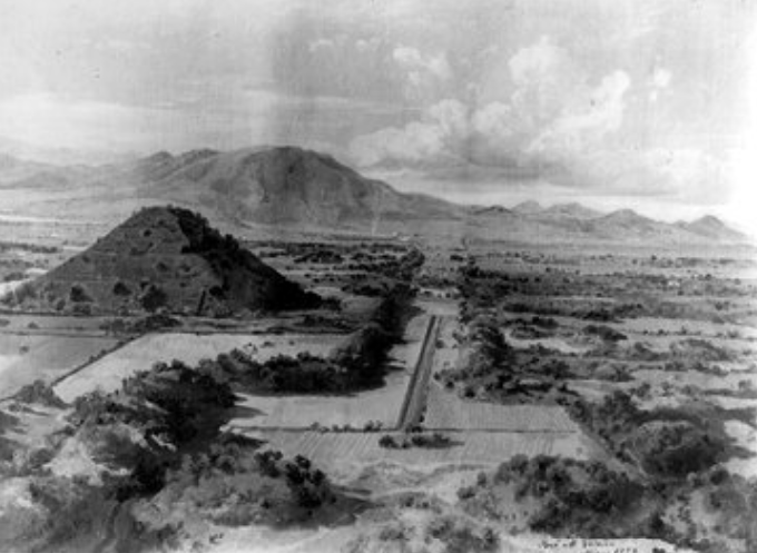
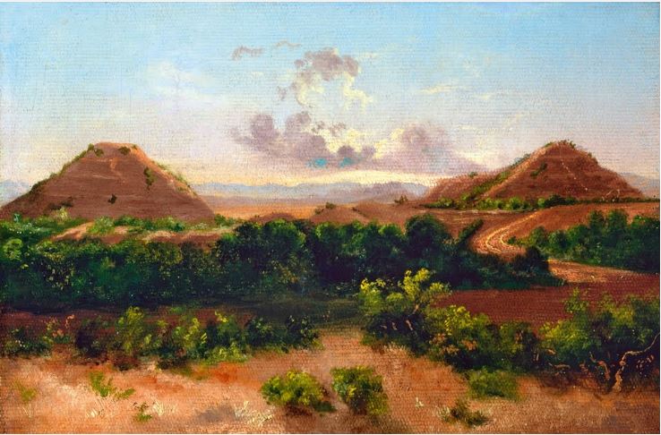
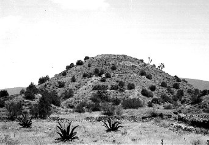
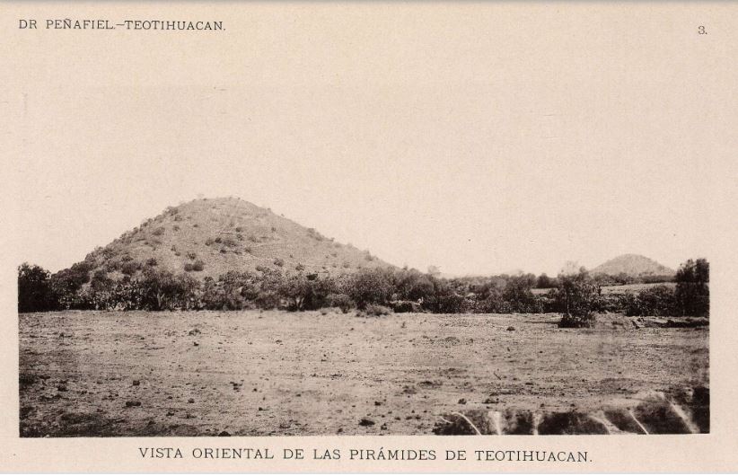
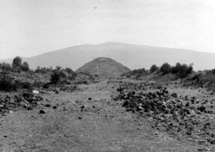
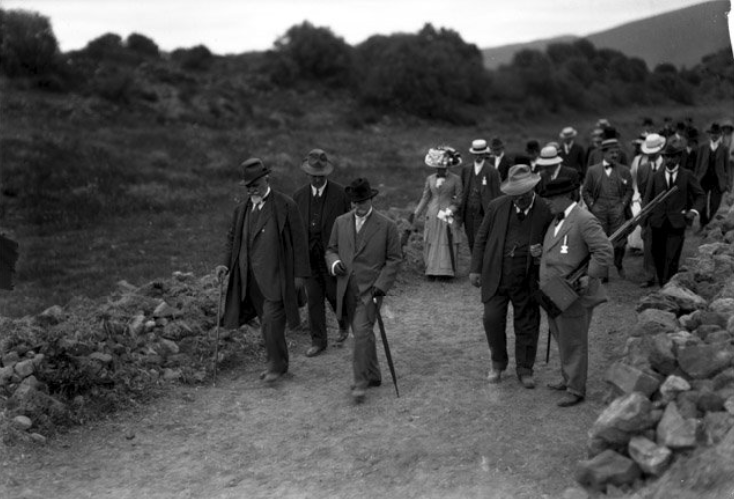
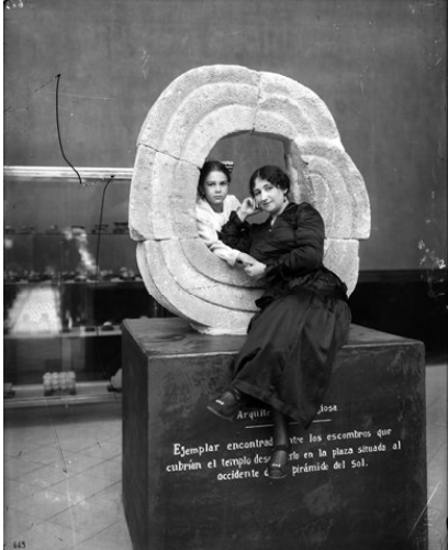
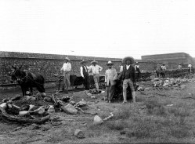
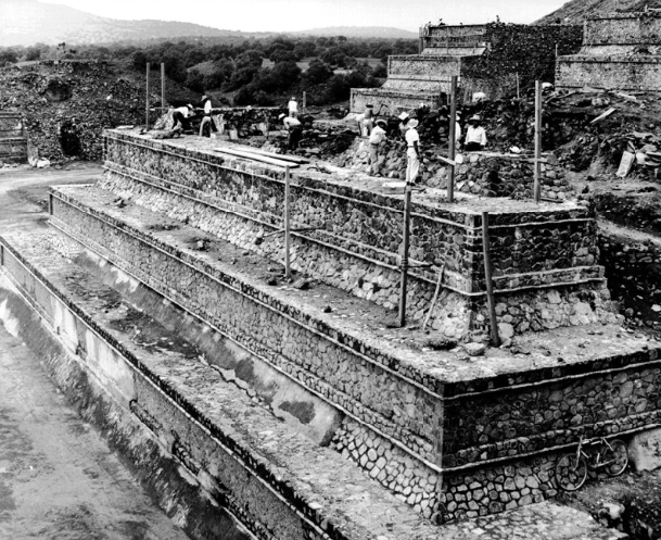
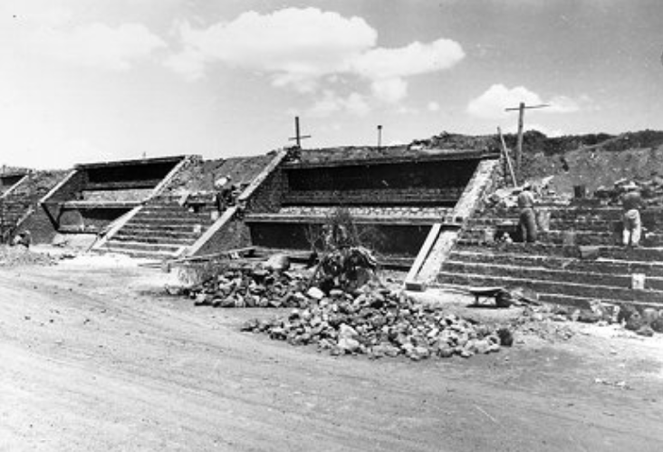
The main area the public can visit in Teotihuacan’s archaeological site is the city’s ceremonial center which stretches across an area of 2.4 km2 (0.92 mi2) (INAH 2021) (Figures 2 and 3). To put this number in perspective, the country of Monaco in Western Europe measures 2 km2 (0.77 mi2) (Viajes NG 2021) and New York’s Central Park measures 3.41 km2 (1.31 mi2) (Britannica 2020). Even further, the area that tourists frequent is only a small percentage (around 12%) of the maximum extent of the city (20 km2 or 7.72 mi2) (Millon 1973:xi), which is comparable to the Republic of Nauru (21 km2 or 8.2 mi2), an island country in Micronesia (Viajes NG 2021).
Dimensions of the Sun Pyramid
Approximate Height: 63 m (206.69 ft); Base: side length: 222 m (728.34 ft); area: 49,248 m2 (530,101.06 ft2) (Sugiyama 1993:112).
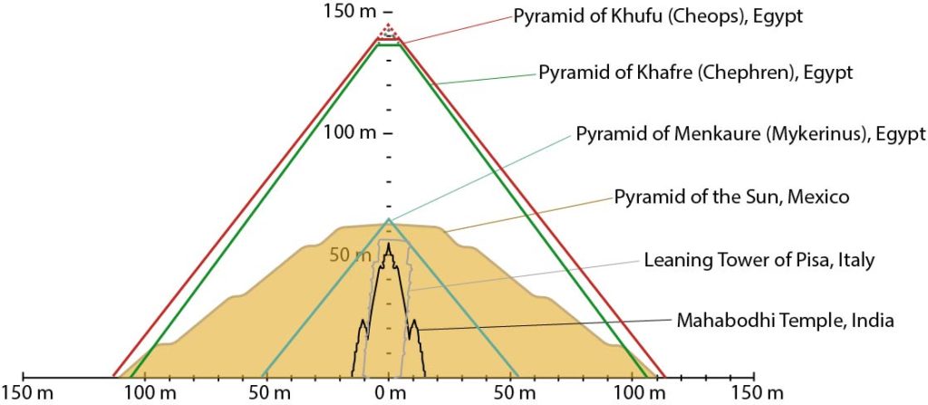
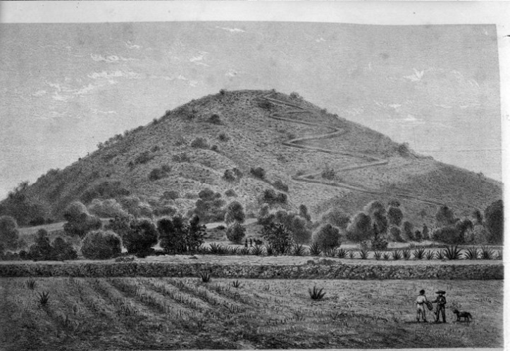
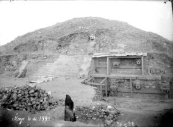
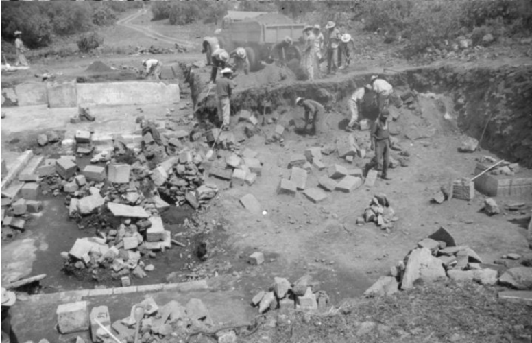
While Teotihuacan’s biggest monument is the Sun Pyramid, we actually do not know its original height because it has suffered many natural and human destruction over the centuries and consequently several reconstructions along the way (admittedly not always completely accurate). In the present day, however, the pyramid measures 63 m (206.69 ft) (Sugiyama 1993:112). In comparison, the Mahabodhi Temple in India (55 m or 180.44 ft) (Britannica 2019) and the Leaning Tower of Pisa in Italy (56.67 m or 185.92 ft) (Leaning Tower of Pisa 2021) are similar in height.
From these numbers, the Sun Pyramid is still more massive than these two monuments. Each of its sides measures 222 m (728.34 ft) with an area of 49,248 m2 (530,101.06 ft2). Have you ever been to a stadium and thought how small you are in comparison to the total space? Well, the Principality Stadium in Cardiff, Wales, also known as Millennium Stadium, has a footprint of 40,000 m2 (430,556.42 ft2) (Principality Stadium 2021). A building with a similar area (52,609 m2 or 566,278.56 ft2) is the Windsor Castle (Royal Borough of Windsor and Maidenhead 2021).
When you think of pyramids, surely the famous Egyptian monuments from the Giza Pyramid Complex come to mind. So, how does the Sun Pyramid compare? The following table breaks down the measurements of each of the Giza Pyramids (Britannica 2021) as compared to the Sun Pyramid (Sugiyama 1993:112).
| Building | Height | Base side length |
| Pyramid of Khufu | 147 m (481.4 ft) | 230 m (755.75 ft) |
| Pyramid of Khafre | 143 m (471 ft) | 216 m (707.75 ft) |
| Pyramid of Menkaure | 66 m (218 ft) | 109 m (356.5 ft) |
| Pyramid of the Sun | 63 m (206.69 ft) | 222 m (728.34 ft) |
As you can see, the Sun Pyramid is similar in height to the Menkaure Pyramid. Although the Kuru and Khafre pyramids are taller than the Sun Pyramid, their bases are comparatively similar in length (Figure 4) and thus in area as well.
A Magnificent City
With over six centuries of occupation, Teotihuacan supported an impressively large population across an extensive landscape enhanced by monuments of global proportions. The next time you visit the site, think about what these numbers mean in terms of human ingenuity. Without fortitude and strength, a city would cease to exist. For this reason, Teotihuacan is a paragon of what a city built on a complex and powerful sociopolitical foundation can achieve for centuries on end.
References
Britannica, The Editors of Encyclopaedia
2020 “Central Park”. Encyclopedia Britannica. Electronic document, https://www.britannica.com/place/Central-Park-New-York-City, accessed July 30, 2021.
Britannica, The Editors of Encyclopaedia
2019 “Mahabodhi Temple”. Encyclopedia Britannica. Electronic document, https://www.britannica.com/topic/Mahabodhi-Temple, accessed July 30, 2021.
Britannica, The Editors of Encyclopaedia
2021 “Pyramids of Giza”. Encyclopedia Britannica. Electronic document, https://www.britannica.com/topic/Pyramids-of-Giza, accessed 2 August 2021.
Britannica, The Editors of Encyclopaedia
2021 “Roman Empire”. Encyclopedia Britannica. Electronic document, https://www.britannica.com/place/Roman-Empire, accessed April 13, 2021.
Cmglee
2016 Comparison of Pyramids. Electronic document, https://en.wikipedia.org/wiki/File:Comparison_of_pyramids.svg, accessed July 30, 2021.
INAH
2021 Zona arqueológica de Teotihuacan. Electronic document, https://inah.gob.mx/zonas/23-zona-arqueologica-de-teotihuacan, accessed April 12, 2021.
Latham, Richard
2021 “Polo”. Encyclopedia Britannica. Electronic document, https://www.britannica.com/sports/polo, accessed July 30, 2021.
Leaning Tower of Pisa
2021 Leaning Tower of Pisa. Facts. Electronic document, https://www.towerofpisa.org/leaning-tower-of-pisa-facts/, accessed April 13, 2021.
Manzanilla, Linda
2018 Corporate Societies with Exclusionary Social Components: The Teotihuacan Metropolis. Origini, Prehistory and Protohistory of Ancient Civilizations XLII:211-225.
Michigan Geographic Alliance
s.f. World’s Largest Cities Maps. Electronic document, https://www.cmich.edu/colleges/se/Geography/Michigan%20Geographic%20Alliance/Geography%20Resources/Lesson%20Plans%20by%20Curriculum/Documents/World%27s%20Largest%20Cities%20Maps.pdf, accessed April 13, 2021.
Principality Stadium
2021 Facts and Figures. Electronic document, https://www.principalitystadium.wales/information/facts-and-figures/, accessed July 30, 2021.
Royal Borough of Windsor and Maidenhead
2021 Windsor Castle. Electronic document, https://www.windsor.gov.uk/things-to-do/windsor-castle-p43983, accessed July 30, 2021.
UrbiStat
s.f. Municipality of Burges. Electronic document, https://ugeo.urbistat.com/AdminStat/en/be/demografia/dati-sintesi/bruges/20204703/4, accessed April 12, 2021.
Viajes NG
2021 Los diez países más pequeños del mundo. Electronic document, https://viajes.nationalgeographic.com.es/a/cinco-paises-mas-pequenos-mundo_9351, accessed July 30, 2021.
