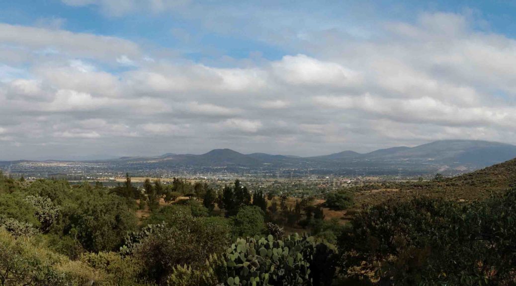
Looking for traces of the past: interpreting the surface of the Teotihuacan Valley
During the 2017 field season, the Plaza of the Columns Project used a special type of investigative tool called LiDAR (Light Detection and Ranging) to verify archaeological features out in the field. This method of remote sensing integrates GPS technologies, Inertial Measurement Unit, and lasers in order to collect altitudinal data. The combination of these sources help to define the surface of the terrain by generating digital elevation models (DEM) for us to further interpret and analyze. In general terms,…